
GeoCat Live
One platform. No assembly required. Catalogue, map server and desktop GIS, managed as one.
[ GeoCat Live ]
One platform. No assembly required.
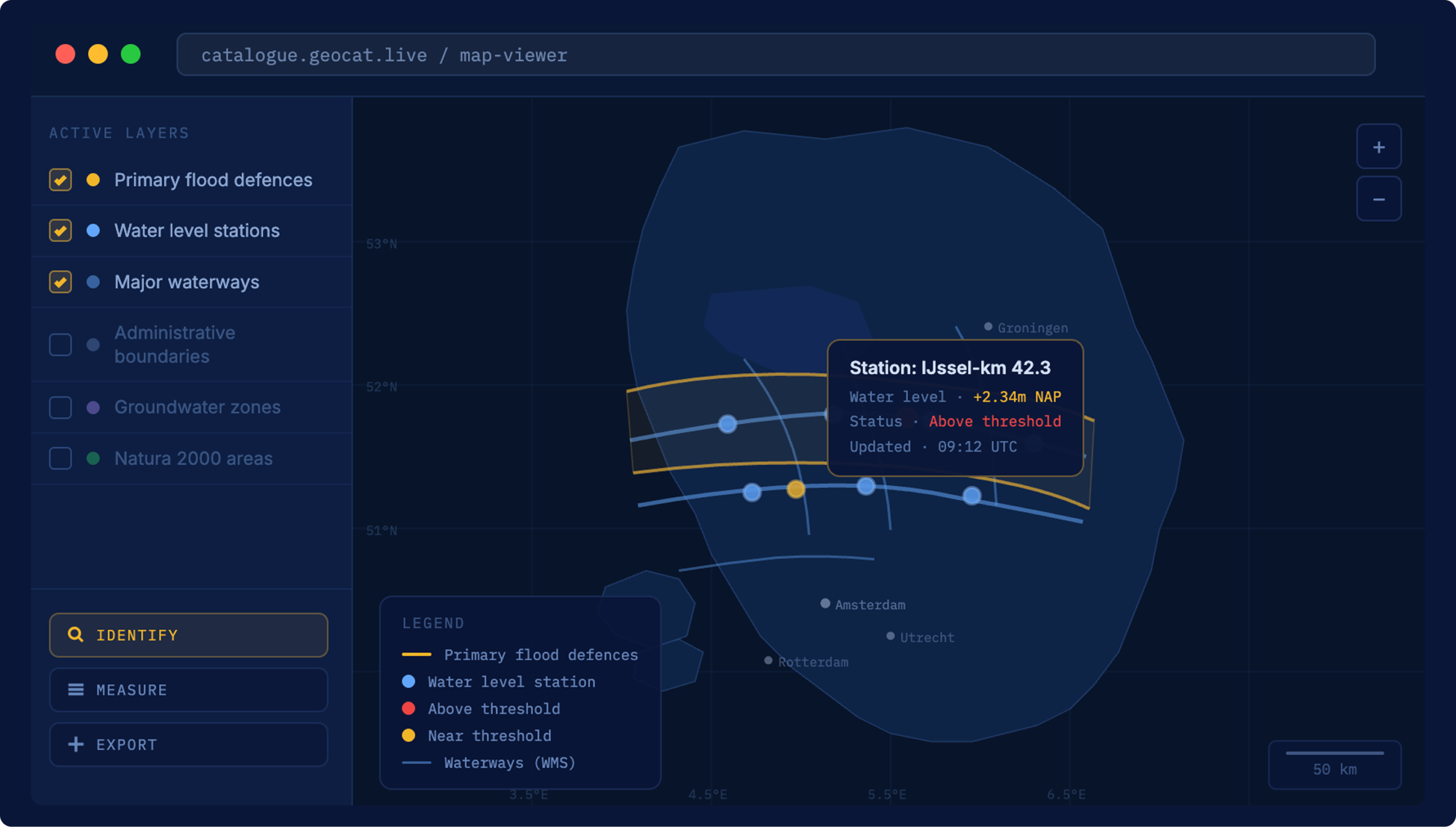
GeoCat Live brings your catalogue, map server and desktop GIS connection into a single managed setup. No separate tools to stitch together, no maintenance burden on your IT team. You stay in charge of your data. We keep the platform running.
[ Why GeoCat Live ]
The layer that holds everything together
Hosting and infrastructure
We run the servers and manage the environment, in the country you choose. You never worry about performance or continuity. That is our job, not your IT team's.
Security and updates
Updates ship as they land and vulnerabilities are patched fast. Encryption, access controls and GDPR adherence are built in. When an issue surfaces in GeoNetwork or GeoServer, the people fixing it already maintain your platform.

Backups and monitoring
Continuous monitoring, automated data-loss prevention and a 99.9% uptime SLA. A dashboard shows your usage and quarterly reports keep you informed, so problems get handled before you notice them.
Scaling with you
Start with what fits today and expand as your data volumes, user numbers and publishing demands grow. No re-platforming, no migration projects.
Support that answers fast
Direct access to the specialists who write the software, with response times from one working day down to two hours. The people who built what you run.
[ Pricing ]
Two ways to run GeoCat Live
Managed software as a service, in Standard or Premium. Pick the service level your organisation needs.
GeoCat Live Standard
Experience the power of our software as a service.
- GeoCat Live dashboard
- Usage dashboard and monitoring report
- Built-in security integration
- GeoCat Find Standard included
- GeoCat Map Standard included
- PostgreSQL with PostGIS extension
- Release notes, monthly uptime, quarterly ticket report, security notifications
- 99.00% availability, daily data-loss prevention
- Standard production server, 5 TB transfer per month
- Response time from 1 business day
GeoCat Live Premium
Enjoy complete comfort and peace of mind.
- GeoCat Live dashboard
- Usage dashboard and monitoring report
- Built-in security integration, IP range and VPN limiting
- GeoCat Find Premium included
- GeoCat Map Premium included
- PostgreSQL, PostGIS extension and pgAdmin
- All Standard reporting, plus roadmap discussion twice a year
- 99.50% availability, hourly data-loss prevention
- Premium production server, 10 TB transfer per month
- Pre-production environment included
- Response time from 2 hours
[ Customer stories ]
Trusted to run critical geodata infrastructure



[ FAQ ]
Questions about GeoCat Live

Other questions
Let us know
GeoCat Live is available as a subscription, either as a managed cloud service or installed within your own infrastructure. The cost depends on your setup, the scale of your data environment and the level of support you need. There are no licence fees for the underlying software. What you pay for is the platform, the maintenance and the expertise around it. Contact us for a quote that fits your situation.
With cloud hosting, GeoCat runs and maintains the platform on your behalf: a fully managed environment with automatic updates, security patching, monitoring and a 99.9% uptime SLA. With on-premise, GeoCat Live is installed within your own infrastructure, so you keep full control over your environment, meet your internal compliance requirements and decide exactly where your data lives. Both options run the same platform. The difference is location and who manages the infrastructure.
Yes. GeoCat Live started as a geospatial platform, but organisations increasingly use it to manage and publish broader data collections: policy documents, research datasets, administrative records. The catalogue handles both geospatial and non-geospatial data in a single searchable environment. For ministries and agencies that need one place to manage what data exists, who owns it and how it can be used, that flexibility matters.
No. GeoCat Live is a managed platform. We handle the setup, the hosting, the updates and the security, so your team works with the data, not the infrastructure. For specialists who manage data day to day, Bridge connects directly to QGIS or ArcGIS Desktop. For end users, Find makes data searchable in plain language. No knowledge of WFS endpoints or metadata schemas required.
It means the software is transparent, independently verifiable and not controlled by a single commercial party. You can inspect the code, audit what it does and be confident it will not change direction because a vendor decided to reprice or discontinue a product. It also means the software is tested by thousands of users worldwide every day. When one organisation funds a new feature, it goes back to the community, and the next organisation inherits it for free.
Esri is a closed, proprietary platform. GeoCat Live is built on open source software and open standards. That means no licence fees for the underlying technology, no vendor lock-in and full control over your data. Your data stays in open formats, published through standards that any system can use, so you are never dependent on a single supplier to keep your infrastructure running. For organisations working under INSPIRE or national geospatial requirements, GeoCat Live meets those standards out of the box.
See whether GeoCat Live fits your infrastructure
Tell us how your geodata setup looks today, and we’ll show you what running it on GeoCat Live would change.
Other solutions
All solutionsGeoCat Bridge
by GeoCat
From QGIS or ArcGIS Desktop to the platform in one step.
GeoCat Map
by GeoCat
Publish once through open standards. Work everywhere.