[ Open source ]
The code that makes data findable.
GeoNetwork and GeoServer started as a solution to a real problem: geospatial data that existed but could not be found. That code is now the backbone of geodata infrastructure for governments and institutions worldwide. GeoCat has been writing and maintaining it since the beginning.
All in one. One in all
-
Data catalogue
Every dataset, layer and document described once and held in a single GeoNetwork catalogue, searchable, standards-based and always current.
-
Map publication
Publish layers through GeoServer over WMS, WFS, WCS and OGC API, ready for any system that speaks open standards.
-
API access & integration
Open endpoints let portals, viewers and partner systems pull data directly, with no conversion or custom integration.
-
Branding & configuration
Style and configure services per audience: a developer endpoint and a citizen portal served from the same source.
-
Access control & roles
Fine-grained roles decide who can find, edit and publish what, across teams and departments.
-
Monitoring & updates
Continuous monitoring, automated backups and fast security patching keep the platform available and current.
Your data flows freely. No walls.
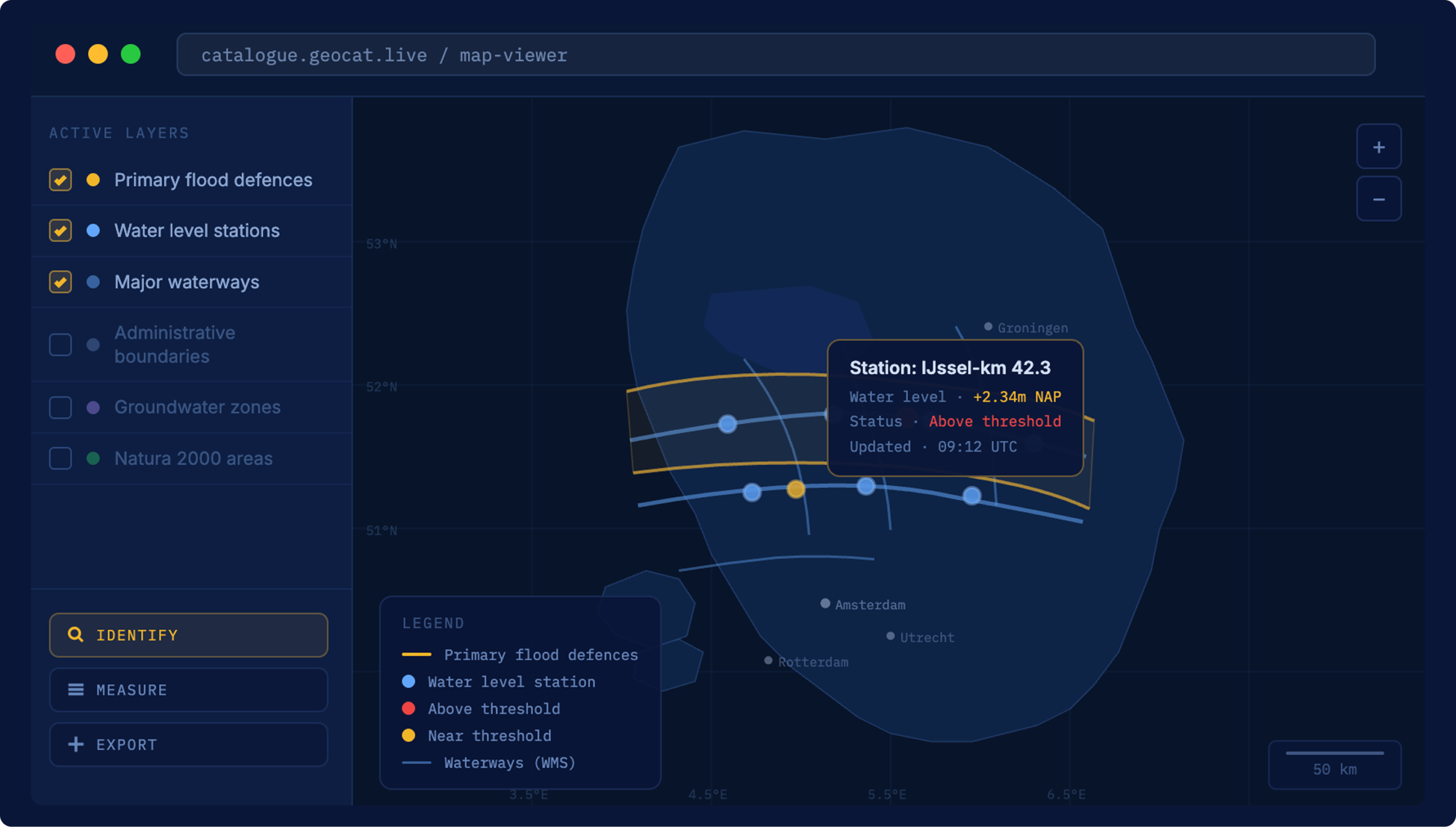
Everything for geospatial data
GeoCat connects to the servers, databases, catalogues and portals where your data already lives and harvests it into one structured place.
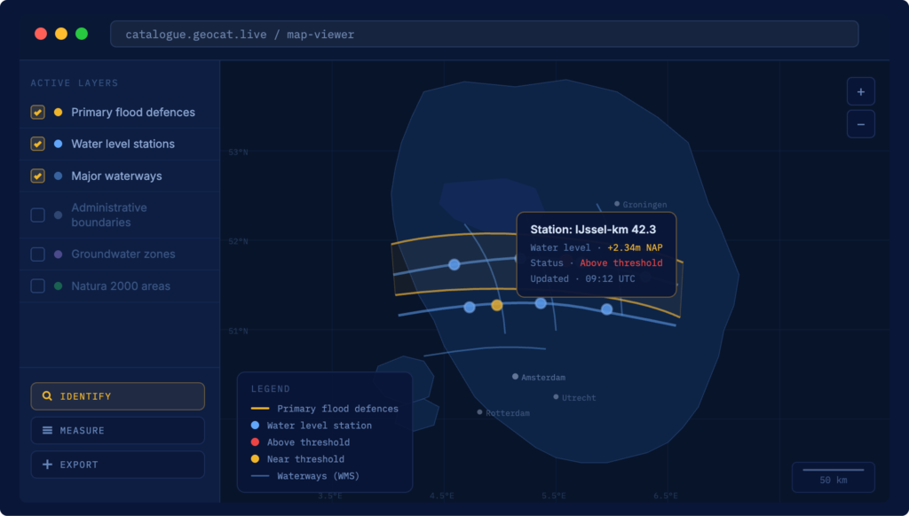
Your environment. Your rules.
Records are aligned to ISO, OGC, INSPIRE and DCAT as they arrive, so your catalogue stays compliant and interoperable by default.

Connect to anything
Publish through open standards so any system, like QGIS, ArcGIS, web viewers, national portals, can use your data without conversion.
Ready to start?
[ How it works ]
Deploy your way, cloud, on-premise or hybrid
From scattered files to a unified, searcahble catalog. All your geographic and non-geographic data in one place.
Cloud hosted
We manage everything
- Fully managed infrastructure and security
- Automatic updates and scaling
- 24/7 monitoring and support
- 99.99% uptime SLA
On-premise
Full control, we support your setup
- Fully managed infrastructure and security
- Automatic updates and scaling
- 24/7 monitoring and support
- 99.99% uptime SLA
[ Open standards ]
Built on international norms
GeoCat works seamlessly with international geo-standards. No vendor lock-in: your data stays yours, portable, interoperable and published through standards any system can read.
[ Why open source ]