[ About ]
Born in open source. Trusted by nations.
GeoCat exists because one person needed to find data that nobody could locate. That problem turned into software. That software turned into infrastructure. That infrastructure now runs beneath the surface of governments, research institutions and international organisations worldwide.
[ Our story ]
It began with a question.
Decades ago, in Rome, at the United Nations. How do you find what you cannot see? Forests burning across borders. Floods rising without warning. Data scattered across desks and servers, invisible to the people who needed it most. Jeroen Ticheler, working as a GIS specialist at the Food and Agriculture Organization, wrote the first version of a catalogue to fix it. Not as a product. As a solution to a problem that was costing lives and decisions.
[ Open source ]
Open source, by conviction.
2007
Founded in Wageningen
20+
Years of open source development
3K+
GeoNetwork installations worldwide
A principle, not a business model
GeoCat did not adopt open source because it was practical. It chose open source because it was right. The code is public. The standards are open. The data stays with the organisations that own it. When one organisation funds a new feature, it goes back to the community. The next organisation inherits it for free.

GeoCat team Engineers and geospatial specialists

















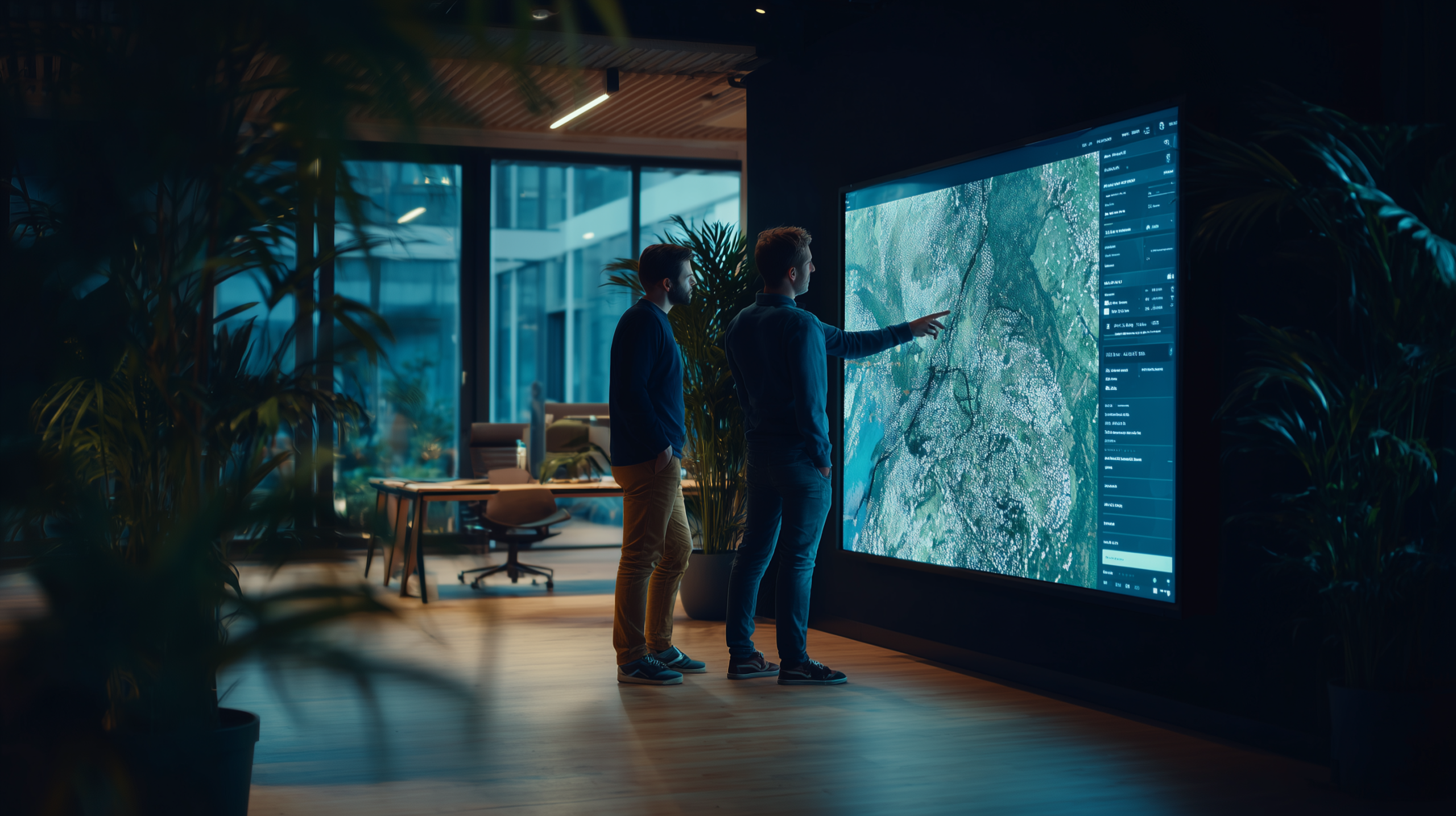
GeoCat is the company built to maintain it, develop it and make it work for the organisations that depend on it. Founded in Wageningen in 2007, deliberately small and specialised. Just a compact team of engineers and geospatial specialists who understand what is at stake when this kind of infrastructure fails.
[ The team ]
Management & advisory
Join our team.
We are a small team with a wide reach. If you understand geospatial infrastructure and want to work on software that matters, we would like to hear from you.
[ Who we are ]
Our data never stops flowing
That catalogue became GeoNetwork. Open, free, available to anyone. Today it runs beneath the surface of nations. Government portals, research infrastructure, spatial data systems across dozens of countries. The code that started in Rome is now part of how the world finds its data.