
GeoCat Bridge
From QGIS or ArcGIS Pro to the platform in one step.
[ GeoCat Bridge ]
From your desktop to the platform in one step.
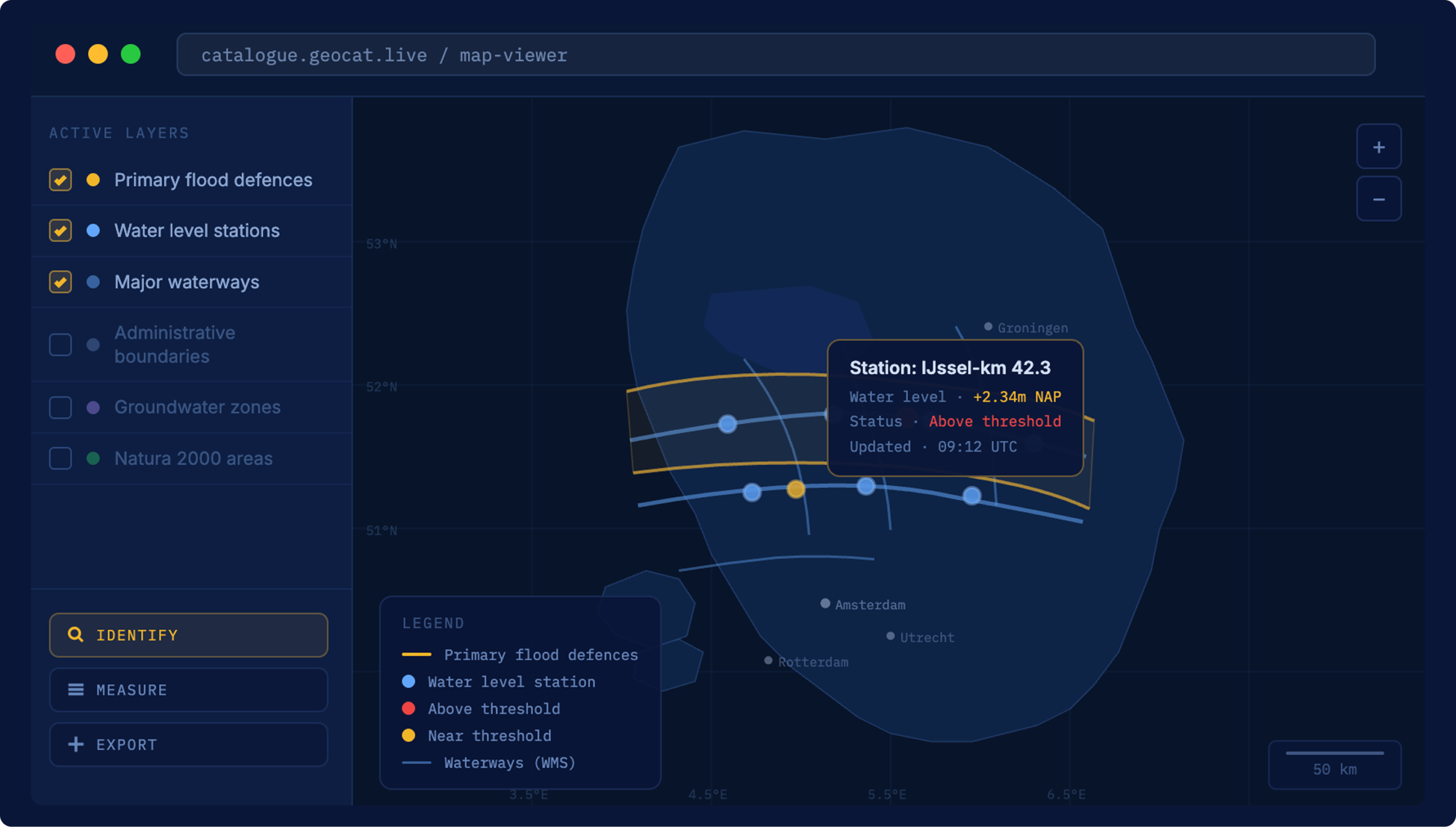
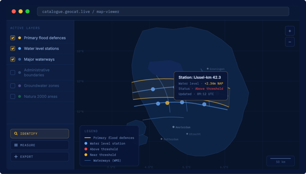
Bridge lets data specialists publish layers and metadata directly from QGIS or ArcGIS Pro to your server of choice. No exporting, no re-uploading, no retyping. The layer lands in Map, the metadata lands in Find, and the symbology comes across with it.
[ What Bridge does ]
Publishing, from where the work already happens
Start where you already work
The layers are built, the metadata written and the publishing decisions made in the desktop GIS. Bridge meets the work there instead of pulling it out.
One action, no re-entry
Without Bridge, moving work into a platform means exporting files, re-uploading and re-entering metadata that already exists. Bridge closes that gap in a single step.

Lands ready to use
The layer arrives in Map ready to serve, the metadata in Find ready to search, and the catalogue reflects what's actually in the project, because the details come straight from it.
[ Pricing ]
Three ways to get GeoCat Bridge
From a free community version to a fully bundled licence for Live customers.
Community
Evaluate the capabilities of our software before committing.
- Support for ISO 19139 metadata
- Metadata publication to the GeoCat Live demo server
- Layer publication to the GeoCat Live demo server
- Free software updates
- Helpdesk support
Standalone
Enjoy complete independence and control.
- Licence key for 1 user or machine
- Support for ISO 19139 metadata
- Metadata publication to GeoCat Find and GeoNetwork opensource
- Layer publication to GeoCat Map and GeoServer
- Data publication to PostGIS
- GeoPackage and GeoTIFF support
- Free software updates
- Helpdesk support
Bundled
Value and convenience for Enterprise or Live customers.
- Everything in Standalone
- For Enterprise or Live customers only
- 100 free seats for Premium customers
- 10 free seats for Standard customers
- Free software updates
- Helpdesk support
[ Customer stories ]
Faster publishing, accurate catalogues


[ FAQ ]
Questions about GeoCat Bridge

Other questions
Let us know
No. GeoCat Live is a managed platform. We handle the setup, the hosting, the updates and the security, so your team works with the data, not the infrastructure. For specialists who manage data day to day, Bridge connects directly to QGIS or ArcGIS Pro. For end users, Find makes data searchable in plain language. No knowledge of WFS endpoints or metadata schemas required.
It means the software is transparent, independently verifiable and not controlled by a single commercial party. You can inspect the code, audit what it does and be confident it will not change direction because a vendor decided to reprice or discontinue a product. It also means the software is tested by thousands of users worldwide every day. When one organisation funds a new feature, it goes back to the community, and the next organisation inherits it for free.
Yes, we can customize GeoCat Find for you to match your Organisation’s style guide, integrate with your authentication services as well as metadata schema requirements. GeoCat Find is delivered as a preconfigured package that directly integrates with your release management procedures.
GeoCat offers onboarding, quarterly consultation and up to 5 years of life-cycle support. Furthermore we pro-actively monitor and resolve vulnerabilities, inform customers of mitigation procedures and more. A support desk is available for questions and issues.
Aside from an on-premise solution, GeoCat Find is also available as a hosted service. It is a core component of our GeoCat Live offering.
Simplify how your team publishes geospatial data
Tell us what your specialists work in, and we’ll show you Bridge in action.
Other solutions
All solutionsServices and Training
Consultancy, training and support on GeoCat software and the open source stack behind it.
Services and Training