
GeoCat Find
Your data, findable by anyone. No technical knowledge required.
[ GeoCat Find ]
The catalogue behind findable data.
GeoCat Find is our enterprise distribution of GeoNetwork opensource: the catalogue where every dataset, service and document is described once, to ISO, OGC, INSPIRE and DCAT, and stays findable for the people who need it. Delivered preconfigured, with support and life-cycle care behind it.
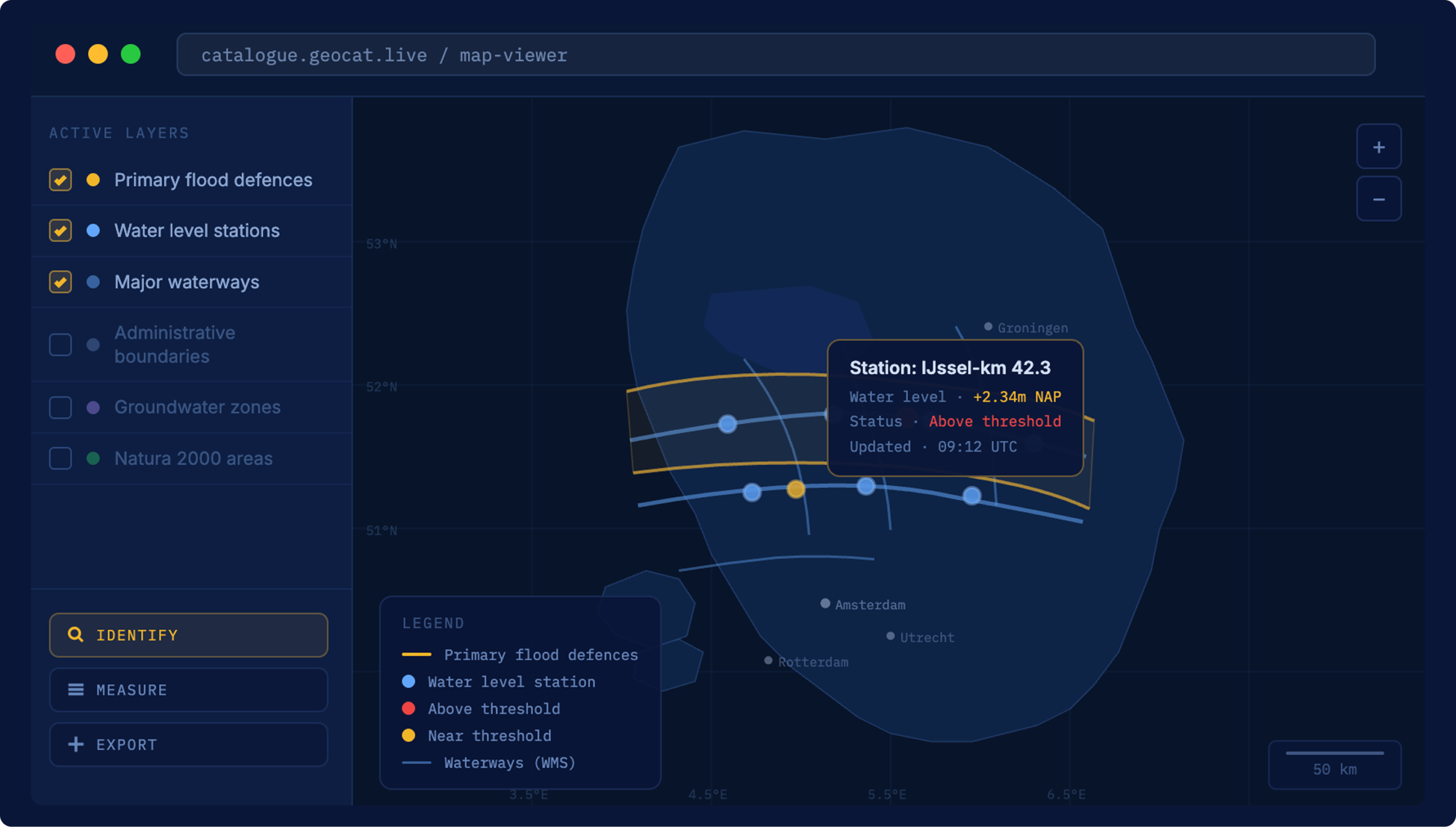
Search without the jargon
Users type what they are looking for and get a ranked list of results. No knowledge of WFS endpoints, metadata schemas or coordinate systems required.
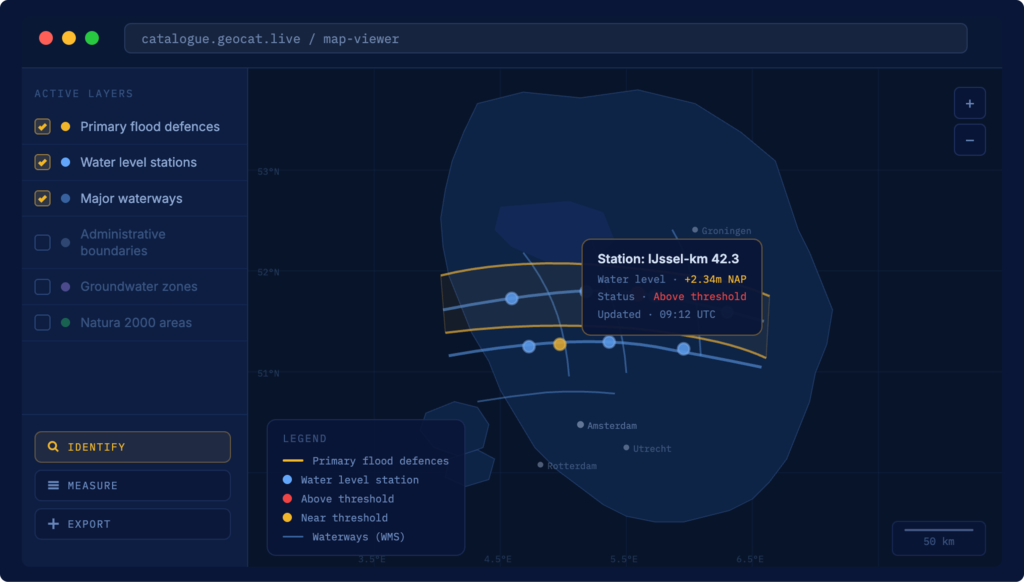
Metadata attached
Every result carries what you need to understand and use it: source, date, format, coverage and terms of use. Nothing is left to interpretation.

Filtered by relevance
Results are sorted by how well they match the query, not by when they were uploaded. The most useful datasets surface first.
Compliant by default
Records are validated against ISO, OGC, INSPIRE and DCAT as they are edited, so your catalogue meets its reporting obligations without a separate compliance exercise.
Configured to your community
Thesauri, projections, background maps, skins and optional metadata profiles (schema-plugins) are set up for your organisation. Find is delivered preconfigured, not as a box of parts.
[ Why Find ]
Data that was always there, finally reachable
[ Pricing ]
What’s included in GeoCat Find
An on-premise catalogue you run yourself, with GeoCat’s support and life-cycle care behind it.
GeoCat Find
Enjoy complete comfort and peace of mind.
- GeoCat Live dashboard
- Unlimited on-premise installations
- 5 years life-cycle support
- Response time of 0.5 business day
- Quarterly setup support and strategic consultation
- Delivered as a WebArchive release
- Source code available
- Two dedicated contacts plus support desk
- Resolution time of 3 days for critical issues
- 25% discount on enterprise consultation
- Preconfigured and ready to deploy
[ Customer stories ]
Findable data, in the real world


[ FAQ ]
Questions about GeoCat Find

Other questions
Let us know
GeoCat Find is a commercial distribution of GeoNetwork opensource offered by GeoCat, providing advanced features, support, and services tailored for enterprise users. Unlike the community version, GeoCat Find includes long-term support, enhanced security features, direct access to our experts and customized solutions to meet specific enterprise needs. It also focusses on both non-geospatial and geospatial data.
Aside from an on-premise solution, GeoCat Find is also available as a hosted service. It is a core component of our GeoCat Live offering.
GeoCat offers onboarding, quarterly consultation and up to 5 years of life-cycle support. Furthermore we pro-actively monitor and resolve vulnerabilities, inform customers of mitigation procedures and more. A support desk is available for questions and issues.
Esri is a closed, proprietary platform. GeoCat Live is built on open source software and open standards. That means no licence fees for the underlying technology, no vendor lock-in and full control over your data. Your data stays in open formats, published through standards that any system can use, so you are never dependent on a single supplier to keep your infrastructure running. For organisations working under INSPIRE or national geospatial requirements, GeoCat Live meets those standards out of the box.
It means the software is transparent, independently verifiable and not controlled by a single commercial party. You can inspect the code, audit what it does and be confident it will not change direction because a vendor decided to reprice or discontinue a product. It also means the software is tested by thousands of users worldwide every day. When one organisation funds a new feature, it goes back to the community, and the next organisation inherits it for free.
Yes, we can customize GeoCat Find for you to match your Organisation’s style guide, integrate with your authentication services as well as metadata schema requirements. GeoCat Find is delivered as a preconfigured package that directly integrates with your release management procedures.
Let your data work for the people who need it
Show us your catalogue and we’ll show you what Find surfaces, and for whom.
Other solutions
All solutionsServices and Training
Consultancy, training and support on GeoCat software and the open source stack behind it.
Services and Training